Technical Preview
Starter Plan
Free Beta Access
Approved Token Required
- Analyze Your Own Area of Interest
- Optical, SAR, DEM, and Change Maps
- Saved Results and Exportable Reports

Daiphys Analysis Notes on Geospatial Opendata
Enter latitude, longitude, and date. DANGO turns open satellite data into compact decision-ready reports with optical, SAR, and DEM analysis, change detection, trends, and AI-assisted notes.
For pilot access and deployment questions, contact Daiphys Technologies LLC.
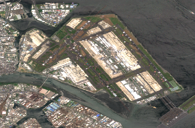
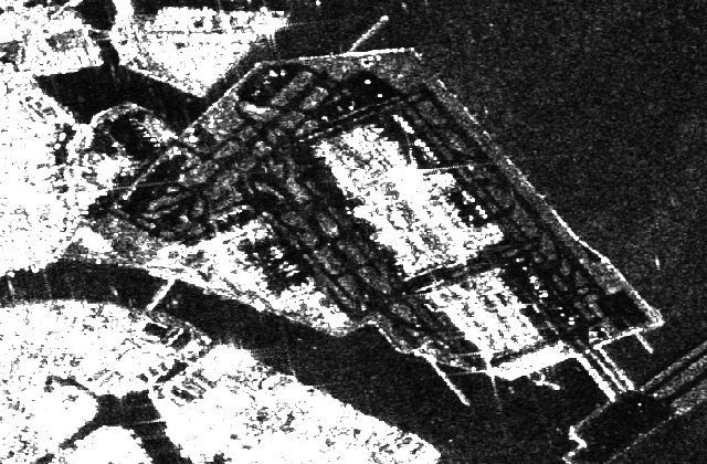
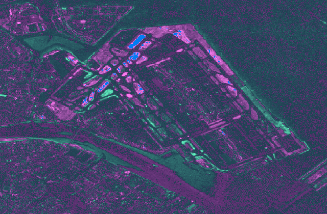
Sample Tiles: Haneda Airport / Sentinel optical, SAR, and change data
Access Plans
Choose a free technical preview or scoped access for deeper analysis and AI-assisted research.
Free Beta Access
Approved Token Required
Quote-Based Access
Available by Request
Scoped Access
Available by Request
DANGO currently uses Copernicus Sentinel-1 and Sentinel-2 data accessed through Microsoft Planetary Computer. Generated reports include Copernicus Sentinel attribution with the source scene year or year range.
DEM Attribution: Copernicus DEM GLO-30 data © European Union. Produced using Copernicus WorldDEM-30 © DLR e.V. 2010-2014 and © Airbus Defence and Space GmbH 2014-2018 provided under COPERNICUS by the European Union and ESA; all rights reserved.
Source data and DANGO outputs are provided without warranty. Daiphys Technologies LLC assumes no responsibility or liability for decisions, losses, damages, or other consequences arising from use of these results.